

Mellow Rock Trail
Kanakapura
Overview
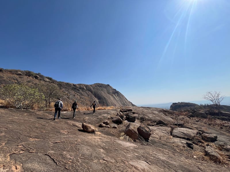
A mellow, mostly-rock trail east from the temple tank that gives you a view of the main hill without committing to a summit - easy enough for casual days.
Photos
⛅️ Season
Any. Be careful on rock in the wet months. And carry a lot of water in the dry season!
🎟️ Permit
A permit is not required to hike here. I have heard of forest officials sometimes not allowing people to hike here, but I have never encountered them myself.
🐾 Wildlife
Near the temple, there are quite a few monkeys, so keep your belongings close. During the wet season be careful as there might be snakes and scorpions on the trail. Snakes will usually move away when they sense footsteps, but keep an eye out. In the dry season, you will be less likely to encounter them.
Please don't hike here at night. Leopards are active here in the dark.
Trail description
The hill is named after the temple. The trail goes due east from the temple tank. You might encounter locals praying at the temple or offering prasad, usually on Sundays. I have had the cooked prasad from the temple once.
After you start the hike you walk east and in about 500 metres into the hike there is a pond [photo] on your right, behind you.
About 1 km into the hike you will start walking on rock. And soon you will see the main hill to your left, due north.
You can keep going further on the rock and get a better view of the main hill.
As you go further, you will encounter a slightly steep section. At this point, you can choose to go further if you feel confident on steep rock or just turn back from here.
Head back the same way you came to reach the temple.
